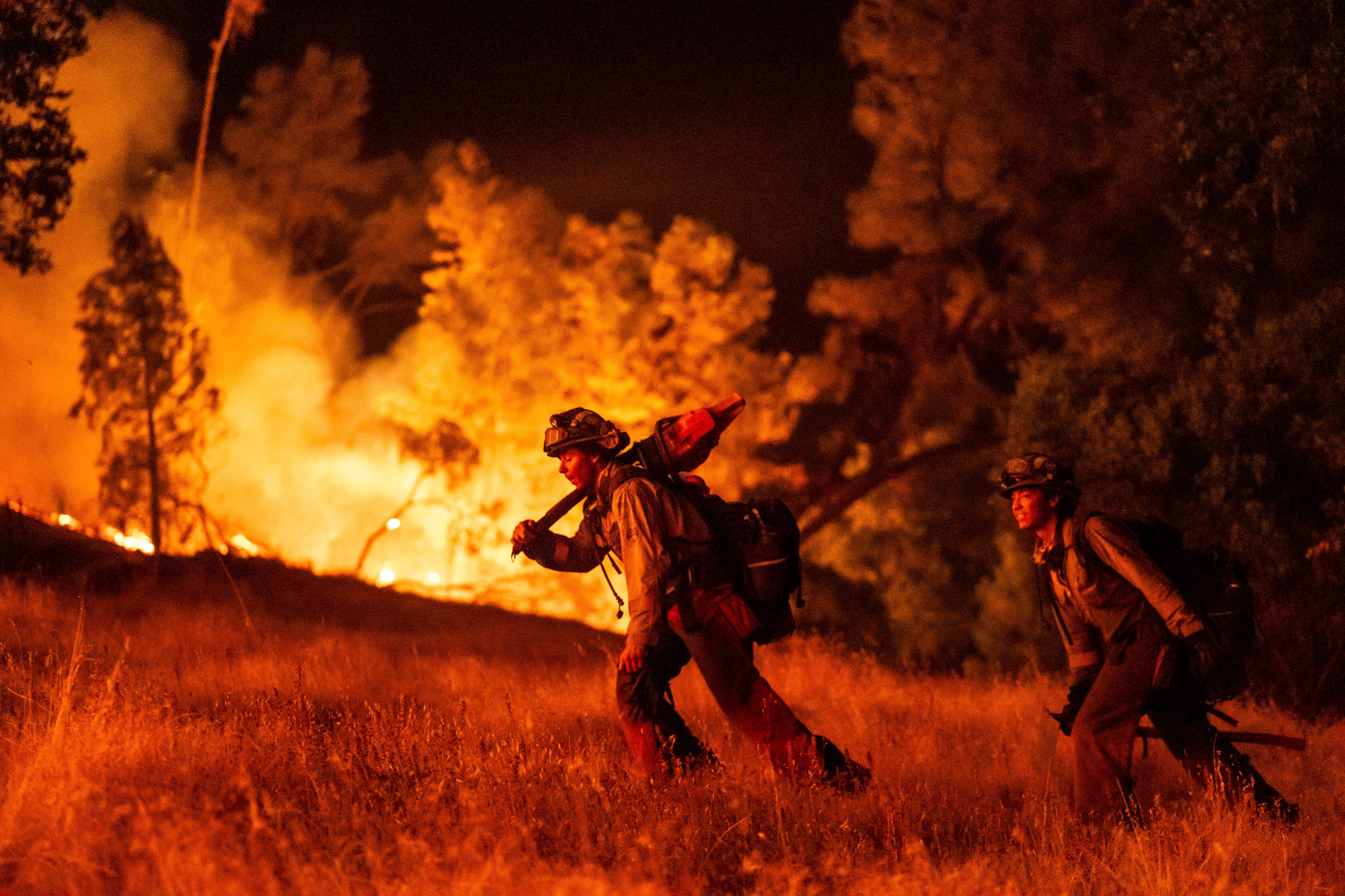
NEW FIRE IN SOUTHERN CALIFORNIA: CRITICAL ZONE MAP, AIR QUALITY STATUS, AND EVACUATION ALERTS
https://resizer.glanacion.com/resizer/v2/H3L53OBGPJDAVCM3YLX44RM7HI.jpg?auth=ee2750a3ea4df3b0e7d5833eabc36eb784ea52f5a0fcb959b38223e924617805&smart=true&width=6048&height=4032
✍️ A new wildfire is advancing in California, burning 4,176 acres in Riverside County, with no reported damage to structures or injuries/fatalities.
👉 The wildfire has burned 4,176 acres in Riverside County 👉 The fire started on April 3 in Gilman Springs Road, east of Moreno Valley 👉 Strong Santa Ana winds contributed to the fire's spread 👉 Over 300 firefighters worked to contain the fire 👉 No reported damage to infrastructure or injuries/fatalities
-- #California #RiversideCounty #GilmanSpringsRoad #MorenoValley #LakePerris #Beaumont #Perris #Riverside #Hemet #Corona #PalmSprings #Acton #LosAngeles #environment
Loading quoted post…